



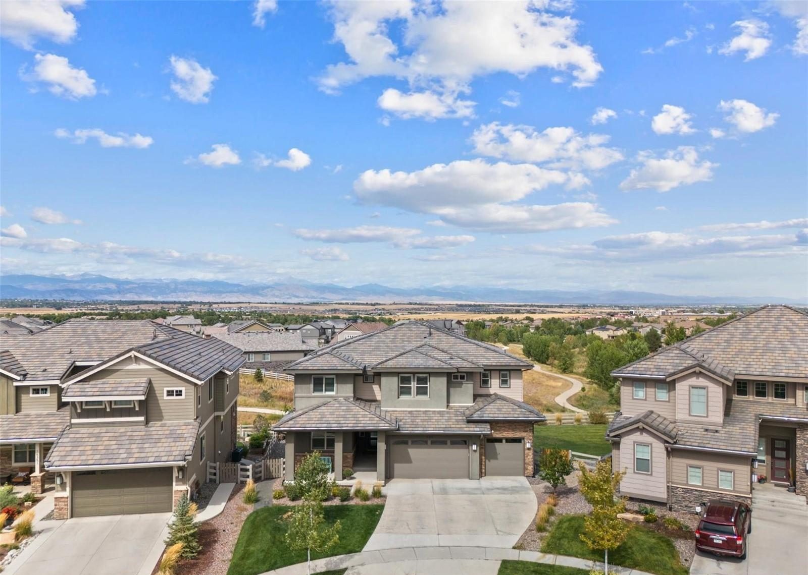
Broomfield, Colorado
Homes for Sale in Broomfield, CO
Every Broomfield listing on REColorado, plus what Steve knows about the city he and his family call home.
Broomfield at a glance
A city and a county between Denver and Boulder
Broomfield became a consolidated city and county in 2001, the newest county in Colorado.
Modern Broomfield began in 1955 with the Broomfield Heights subdivision beside the new Denver-Boulder Turnpike. The name goes back further, to the broomcorn once grown here. Today the city runs from those first neighborhoods north past the Northwest Parkway to State Highway 7.
Population
79,174Census, 2025 estimate
County
Since 2001City and County of Broomfield
Schools
6 districtsoverlap the city; check each address
Getting around
US-36plus the Northwest Parkway and I-25
Saved searches
Start with a search in Broomfield
Each card opens a live search of REColorado listings, updated as they change.
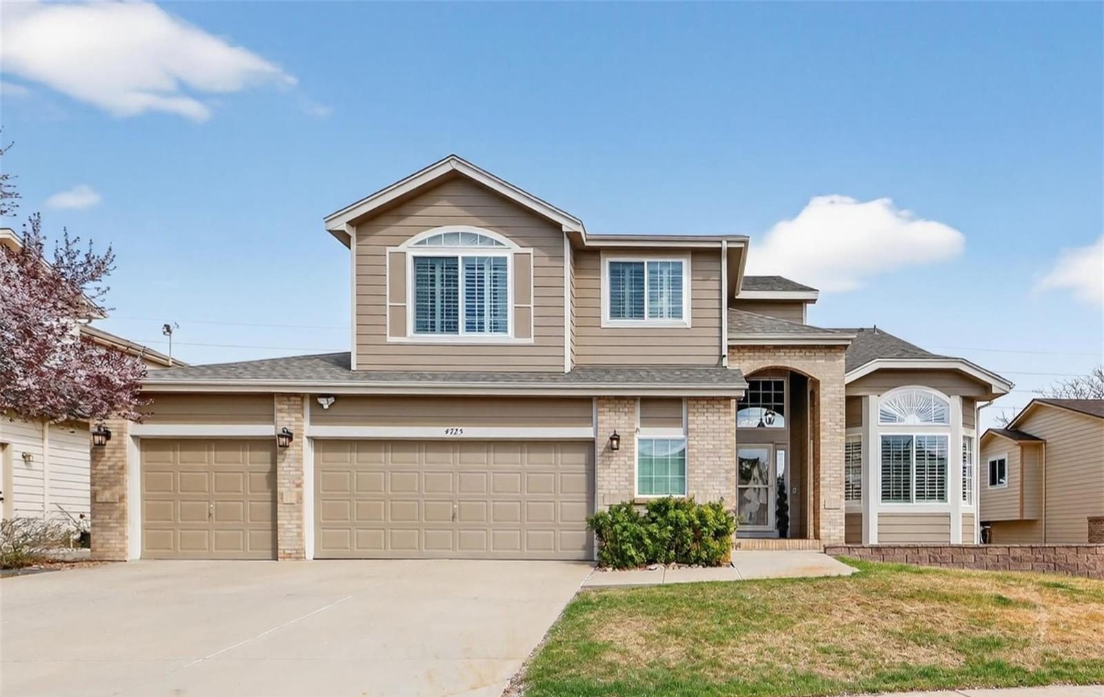
01
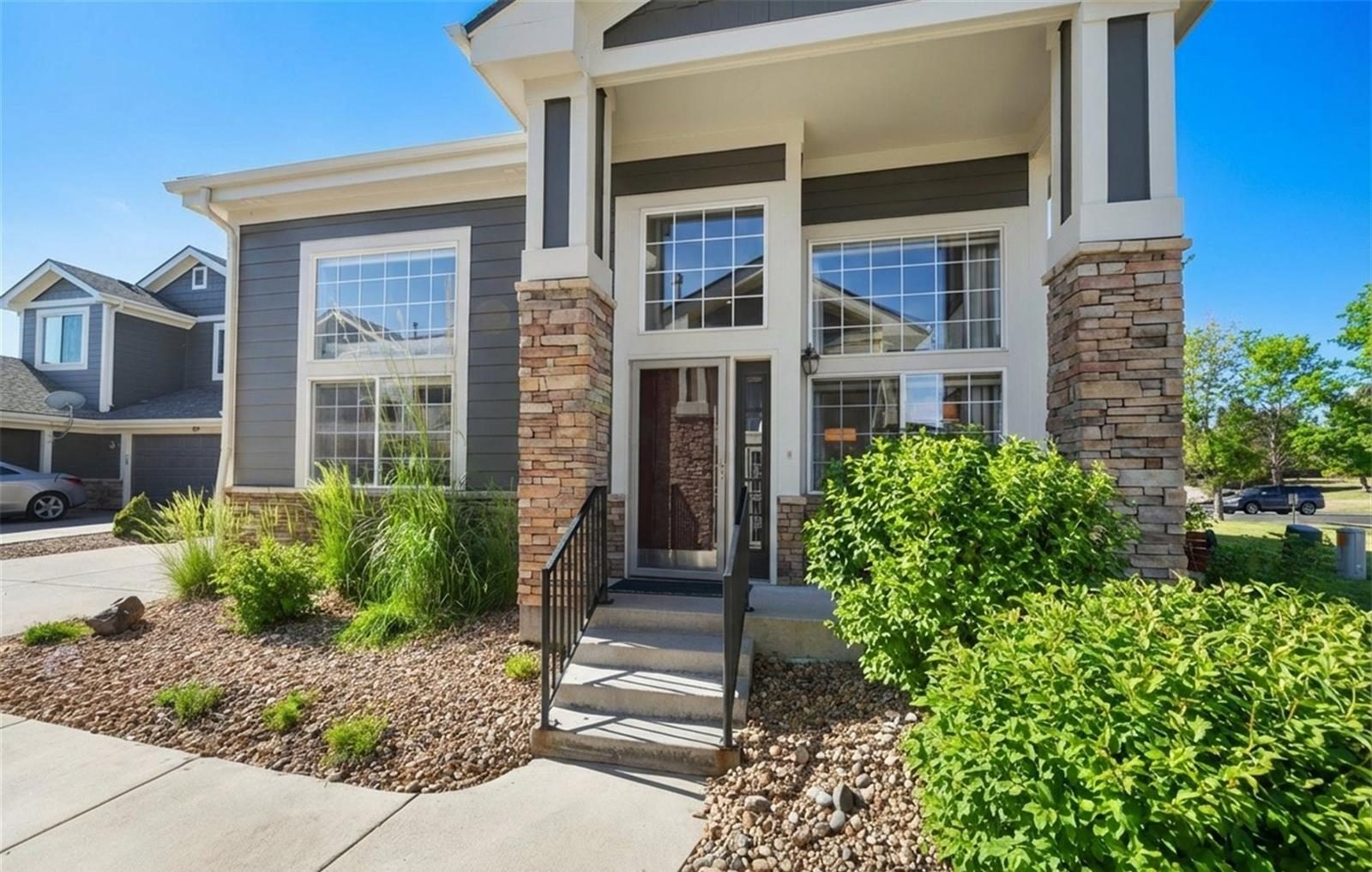
02
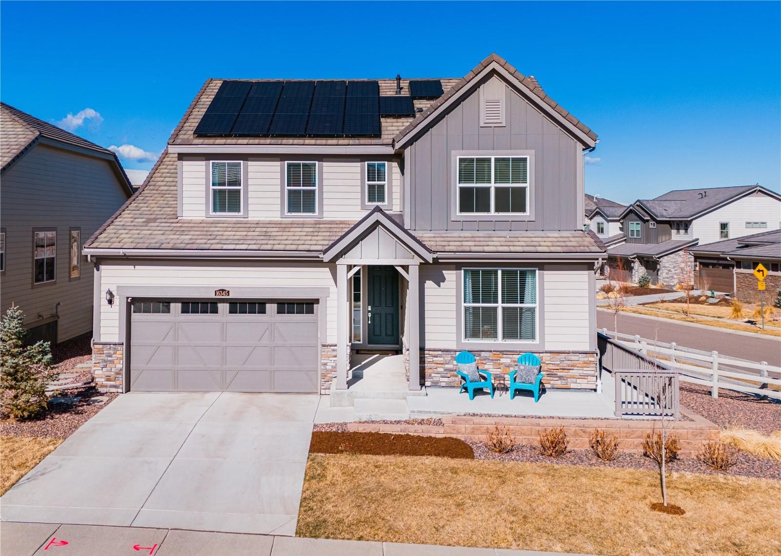
03
04
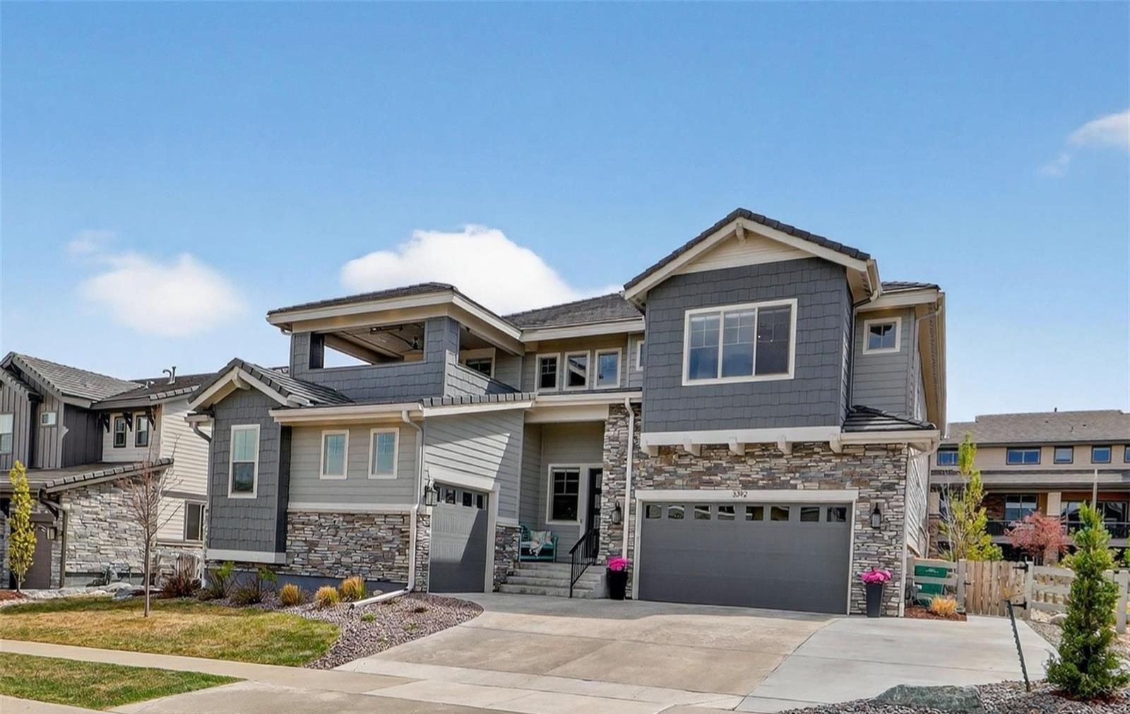
Newest listings in Broomfield
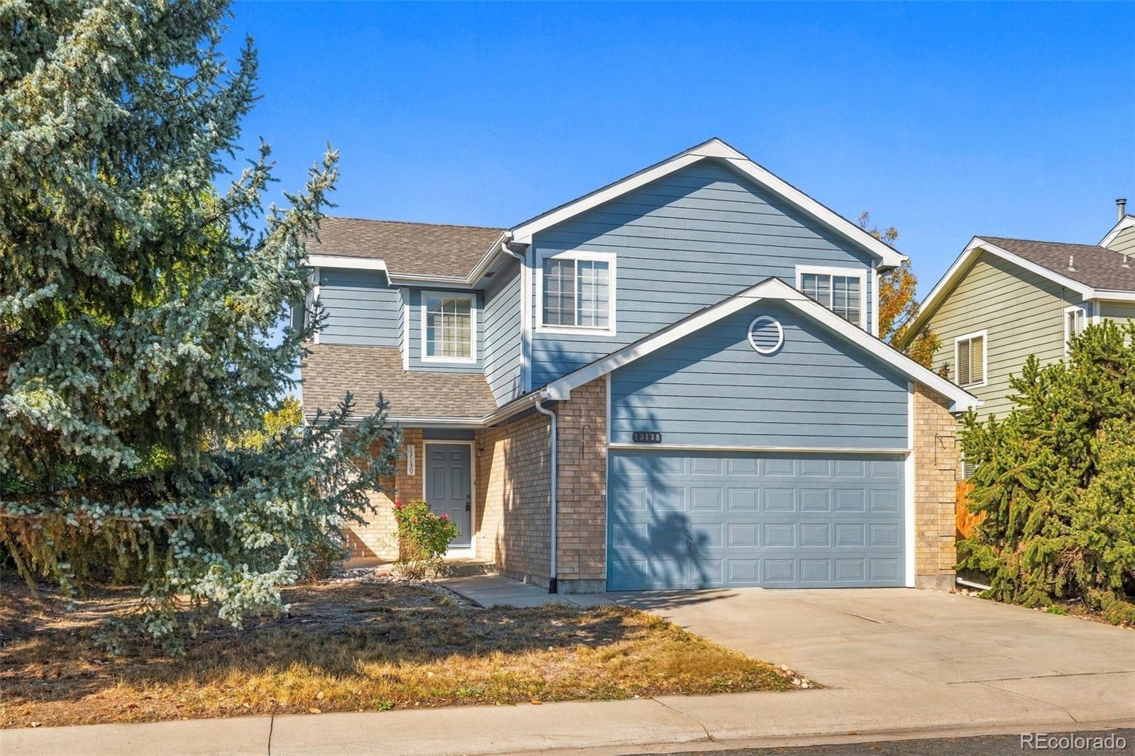 $500,000
13139 Alcott Place Broomfield, Colorado
3 Beds 3 Baths 1,898 SqFt 0.22 Acres
Coming Soon Listing courtesy of West and Main Homes Inc
 $298,000
12565 Sheridan Boulevard 116 Broomfield, Colorado
2 Beds 1 Baths 1,197 SqFt
Active Listing courtesy of Brokers Guild Real Estate
 $690,000
13969 Del Corso Way Broomfield, Colorado
4 Beds 4 Baths 2,301 SqFt
Coming Soon Listing courtesy of LoKation
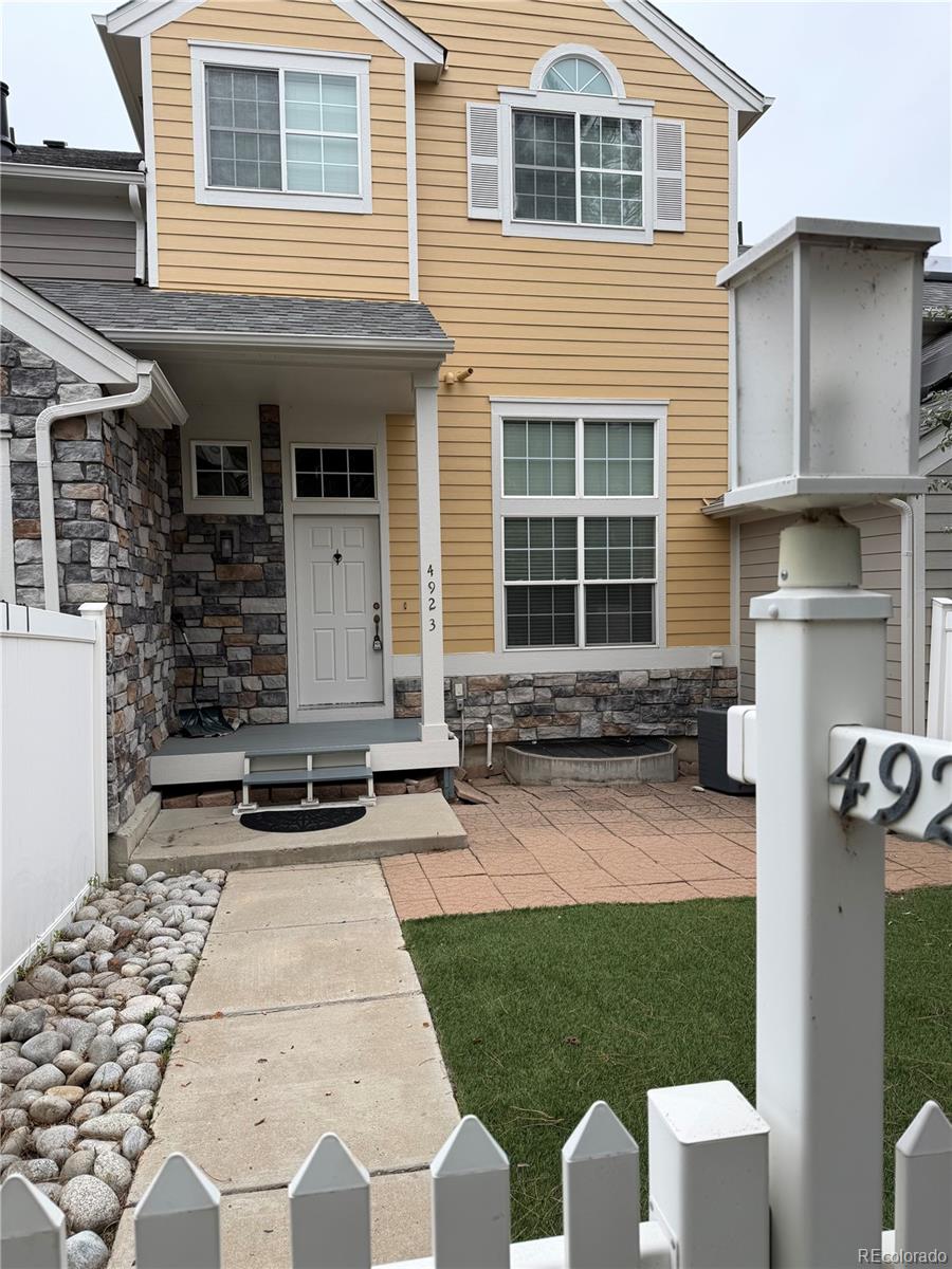 $478,900
4923 Grey Wolf Place Broomfield, Colorado
3 Beds 3 Baths 1,956 SqFt
Coming Soon Listing courtesy of Keller Williams Avenues Realty
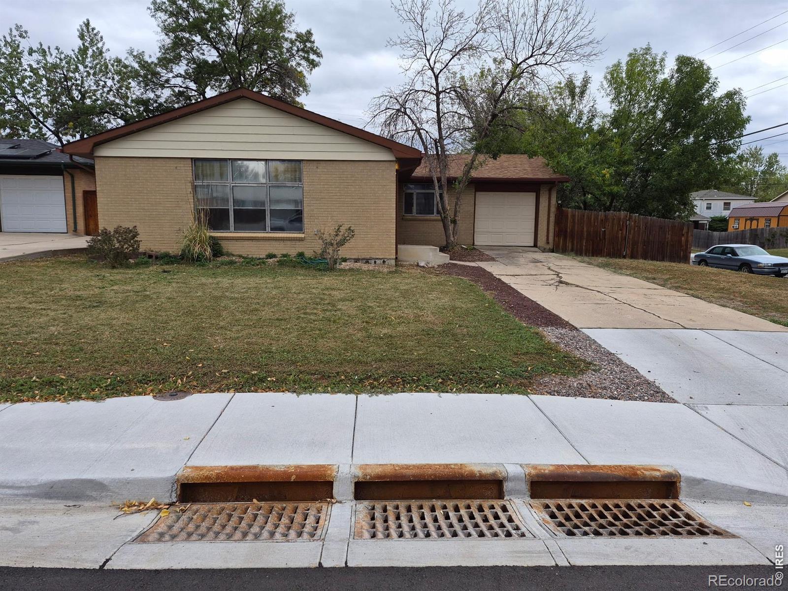 $395,000
300 Jade Street Broomfield, Colorado
3 Beds 3 Baths 2,498 SqFt 0.2 Acres
Active Listing courtesy of RE/MAX Alliance-Lsvl
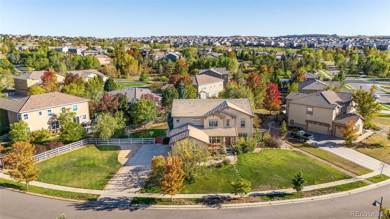 $975,000
3630 Vestal Loop Broomfield, Colorado
5 Beds 5 Baths 4,998 SqFt 0.4 Acres
Active Listing courtesy of RE/MAX Professionals
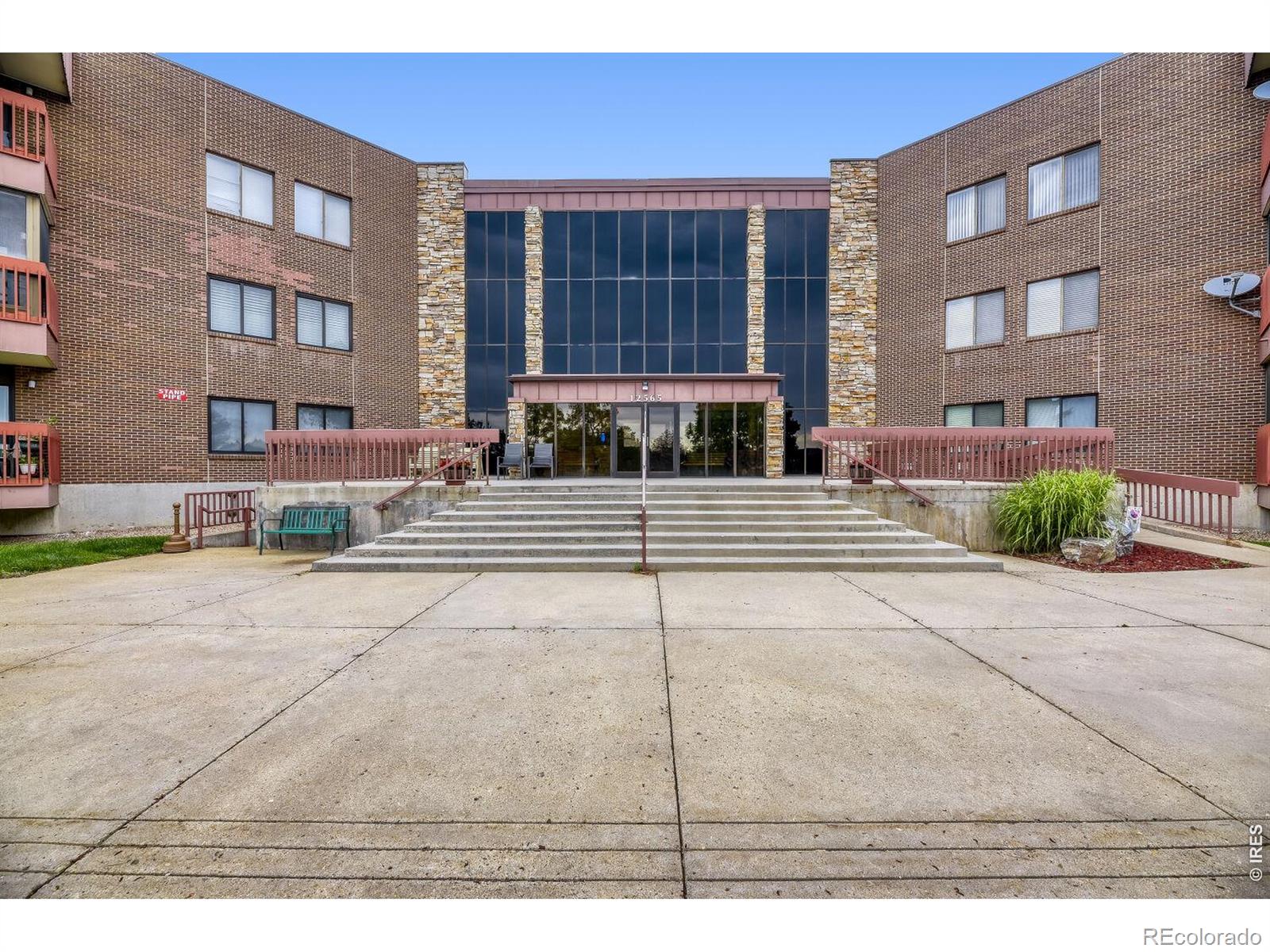 $365,000
12565 Sheridan Boulevard 304 Broomfield, Colorado
2 Beds 2 Baths 1,421 SqFt
Active Listing courtesy of RE/MAX Elevate
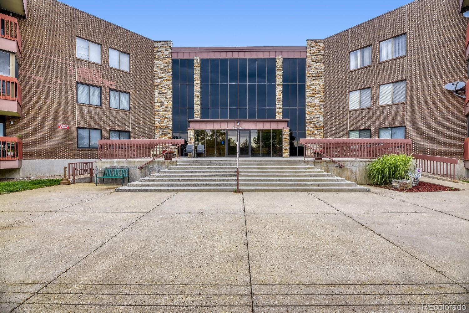 $365,000
12565 Sheridan Boulevard 304 Broomfield, Colorado
2 Beds 2 Baths 1,421 SqFt
Active Listing courtesy of RE/MAX Elevate
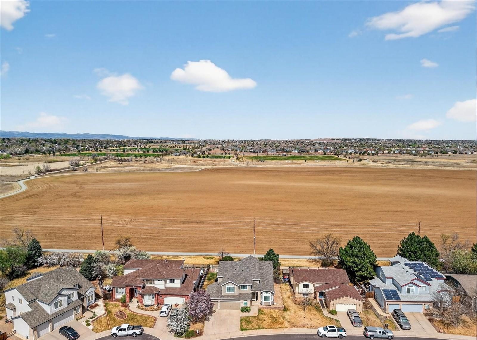
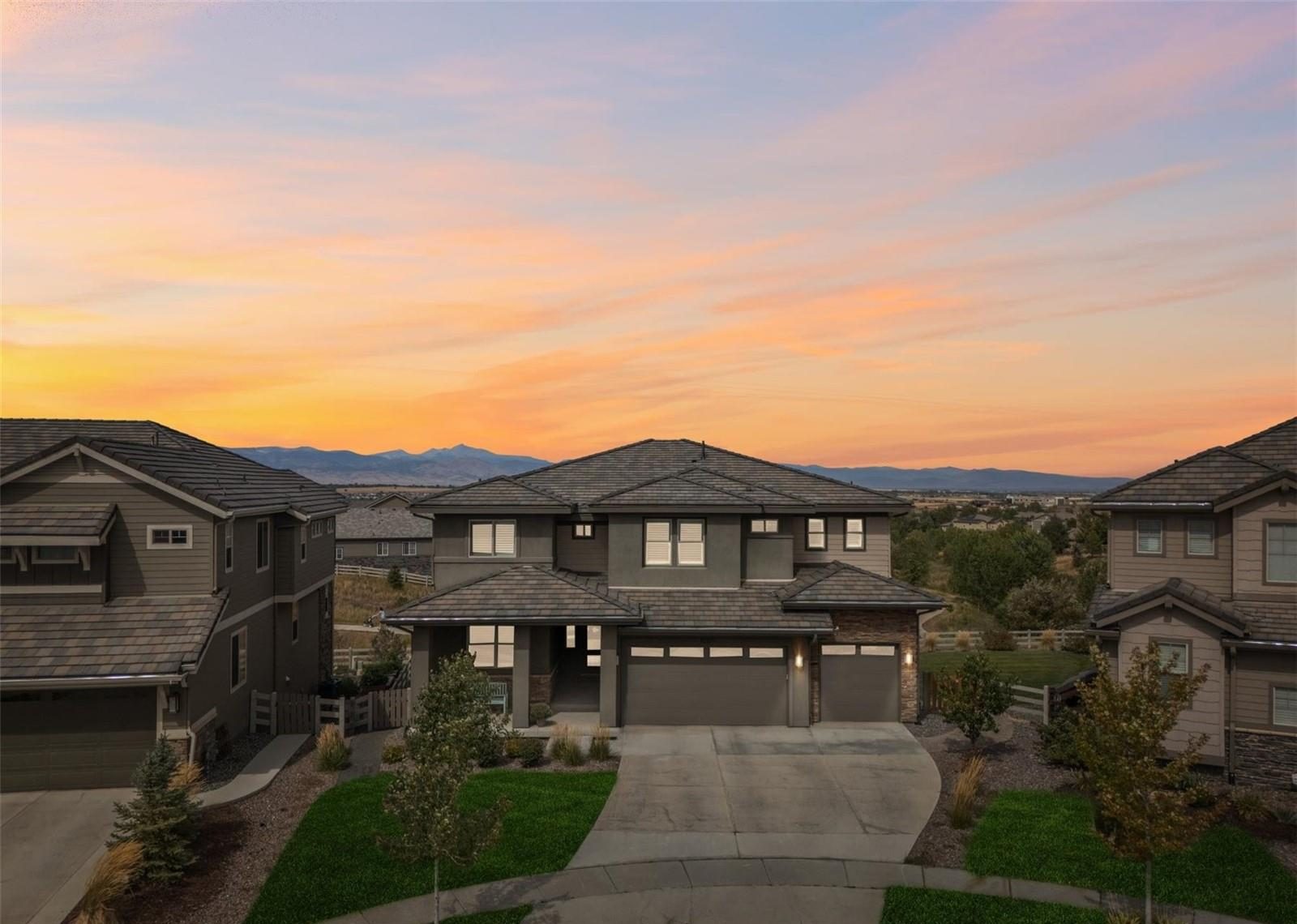
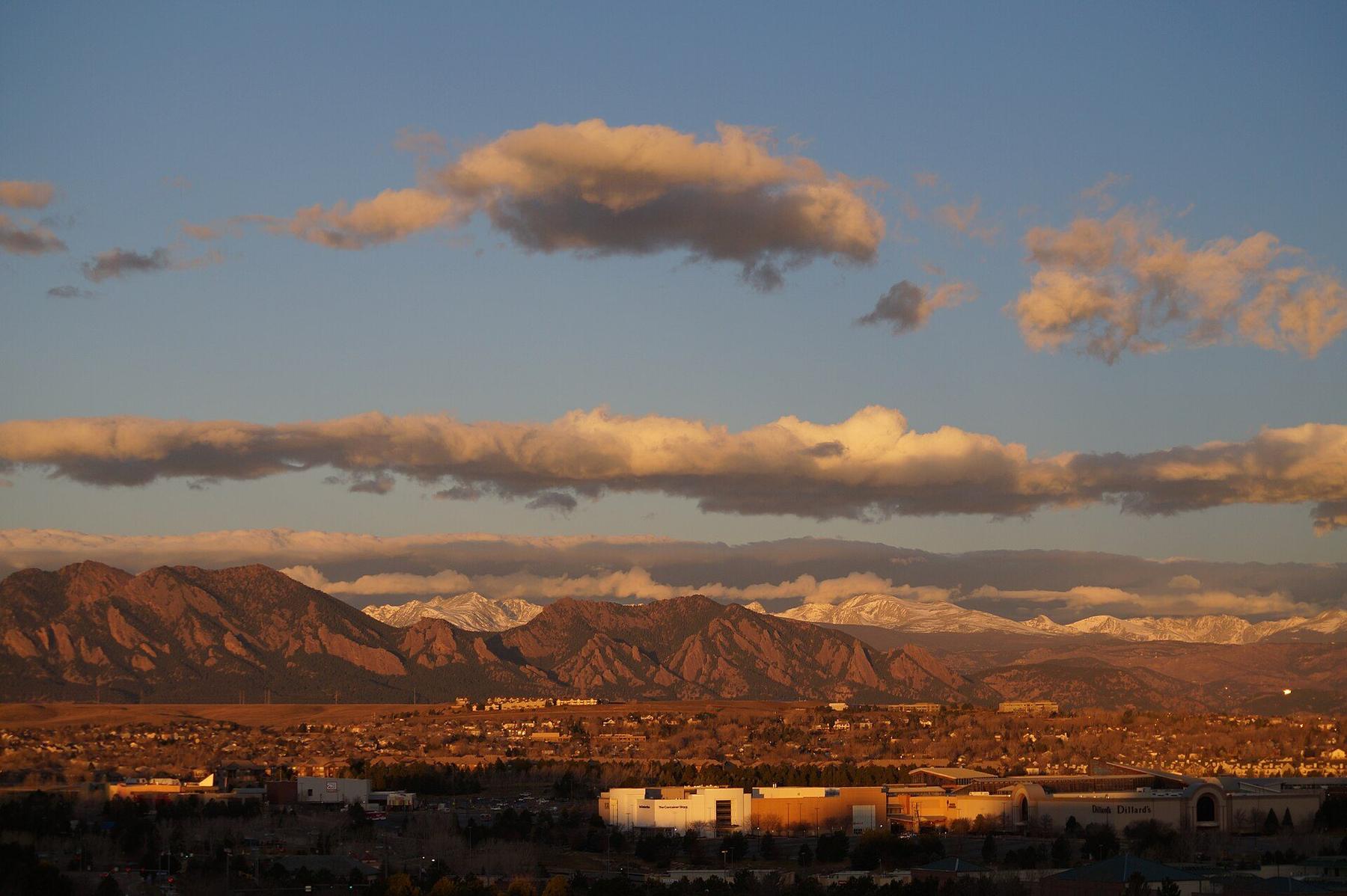
01 / 05
Midway between Denver and Boulder
US-36 runs along Broomfield’s southwest side and I-25 along its east, with the Northwest Parkway tying them together in the north. Denver and Boulder are both an easy drive, and the Flatiron Flyer runs to each from the US 36 & Broomfield Station.
Between those roads are parks and trail corridors, the Interlocken business park and FlatIron Crossing, which opened in 2000.
Anthem Highlands
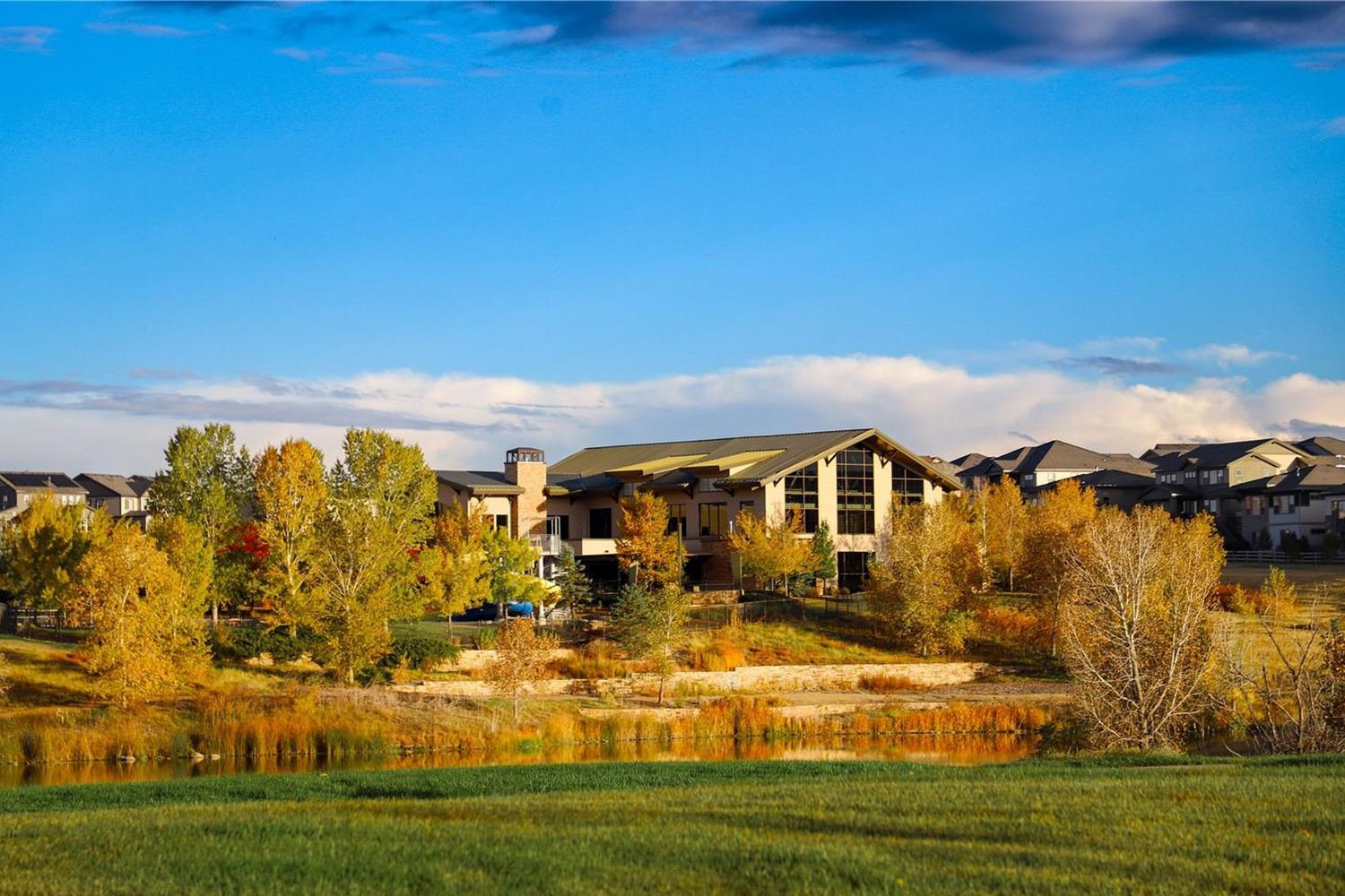
North Broomfield’s master-planned neighborhood, with homes built from 2005 to 2024. The Parkside Community Center has the pool and fitness center, Anthem Community Park sits at Sheridan Parkway and Lowell Boulevard, and Thunder Vista P-8 is inside the neighborhood.
Steve lives here and writes a monthly market report on it.
Greenway Park
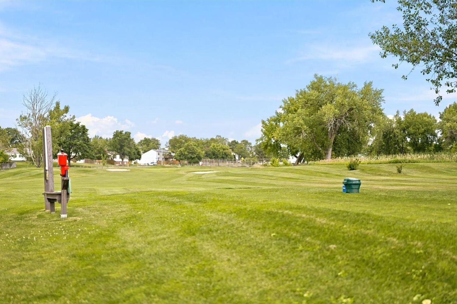
Central Broomfield, just south of West 120th Avenue: 549 homes, most of them built in the 1970s and 1980s, around a nine-hole, par-27 golf course that opened in 1973. The schools are Jeffco’s Standley Lake area, and the US 36 & Broomfield Station is about a mile west.
Steve reports on this neighborhood every month too.
What to check before you offer
- The school district, by addressSix districts overlap Broomfield and the line can run between neighbors. Confirm every address in the district’s school finder.
- Metro district and HOA costsNewer Colorado neighborhoods often sit in a metropolitan district that adds to the property tax bill, and many carry HOA dues. Get both figures in writing before your contract deadlines.
- Toll roadsThe Northwest Parkway and E-470 are toll roads. If you’ll drive them every day, count the tolls in your commute.
- Older homesIn the neighborhoods built from the 1950s to the 1980s, add a sewer line scope to the inspection.
Where Steve’s family lives
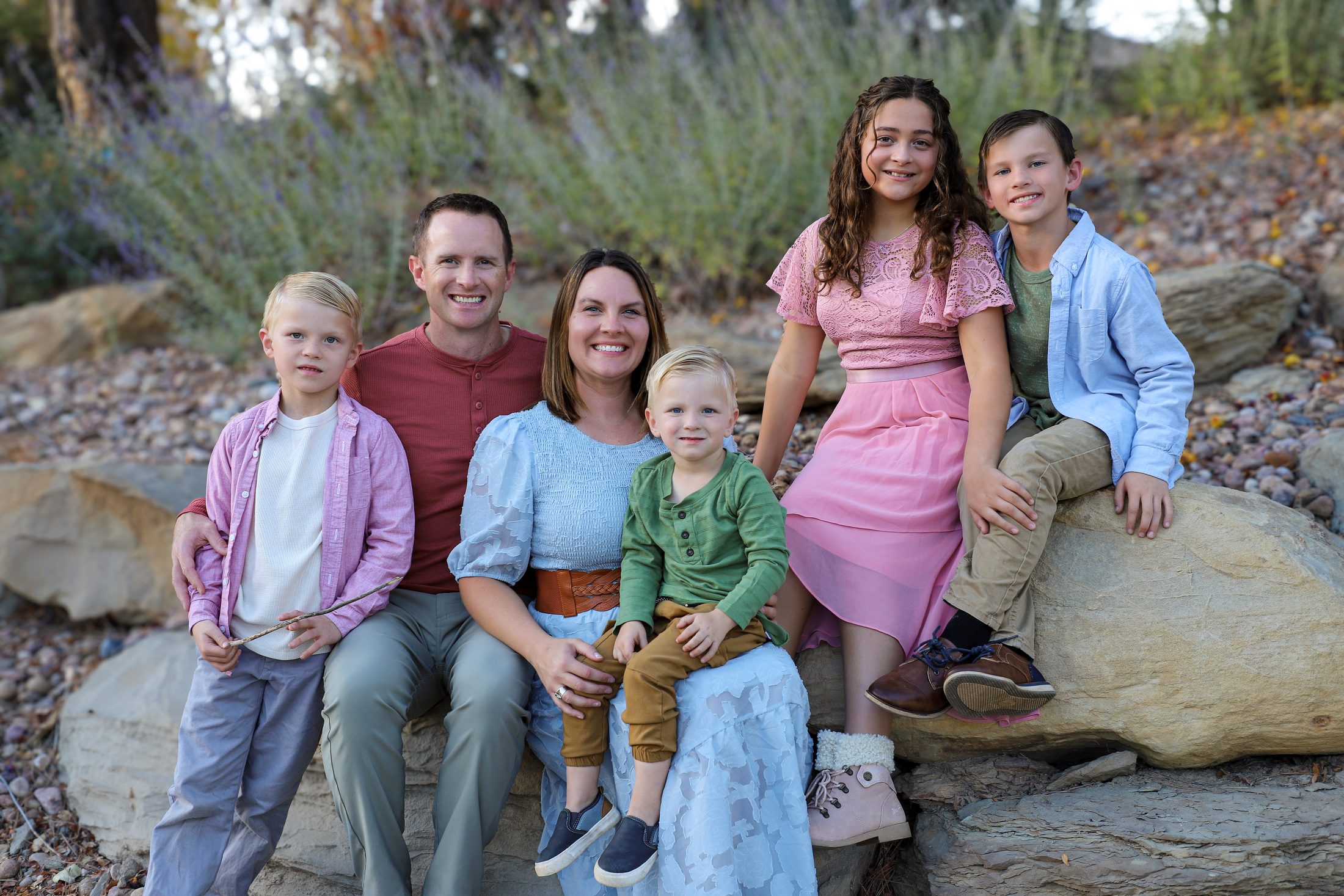
Broomfield is more than an area I serve. It’s where my family and I call home. I love its great neighborhoods, beautiful open spaces and easy access to everything Colorado has to offer.
Steve Calley
Day to day
Schools, parks and getting around
Schools
- Adams 12 Five Star Schools: the east and north, including Anthem
- Boulder Valley: central and west
- Jeffco Public Schools: the southwest, including Greenway Park
- St. Vrain Valley: north of State Highway 7
Parks and recreation
Shopping and work
- FlatIron Crossing, off US-36
- The Interlocken business park
- Shops around the US 36 & Broomfield Station
- Everyday errands along 120th Avenue
Getting around
- US-36 to Denver and Boulder
- The Flatiron Flyer from the US 36 & Broomfield Station
- The Northwest Parkway (toll) to I-25 and E-470
- I-25 on the east, State Highway 7 on the north
School information is factual and by district. Always confirm a specific address in the district’s school finder.
Market reports
Steve’s monthly Broomfield reports
Anthem Highlands and Greenway Park, month by month: what listed, what sold and what sat.
Questions
Broomfield FAQ
Is Broomfield its own county?
Yes. Broomfield became a consolidated city and county on November 15, 2001, so one government handles city and county services, including property records.
Which school district serves Broomfield?
Six districts overlap the city. By land area, Adams 12 covers the east and north (including Anthem), Boulder Valley the center and west, Jeffco the southwest (including Greenway Park) and St. Vrain the area north of State Highway 7. Always confirm a specific address with the district.
How do people get to Denver and Boulder from Broomfield?
Most drive US-36, which connects both. The Flatiron Flyer stops at the US 36 & Broomfield Station, and the Northwest Parkway links US-36 to I-25 and E-470 as a toll road.
How are Anthem Highlands and Greenway Park different?
Anthem Highlands is a newer master-planned neighborhood in the north, with homes built from 2005 to 2024 and Adams 12 schools. Greenway Park is an established neighborhood in the center of the city, mostly 1970s and 1980s homes around a nine-hole golf course, with Jeffco schools. Steve writes a monthly report on each.
Nearby
Near Broomfield
Resources
Broomfield sources
- City and County of BroomfieldCity services, parks, trails and news
- Broomfield AssessorProperty records and values
- Adams 12 school finderCheck the school for a north or east Broomfield address
- Boulder Valley School DistrictCentral and west Broomfield
- Jeffco Public SchoolsSouthwest Broomfield, including Greenway Park
- Walk Score: BroomfieldWalkability and transit for Broomfield addresses
Photos marked on this page by Kpsudeep (CC BY-SA 4.0), Pleiades Two (CC BY-SA 3.0), via Wikimedia Commons.
Contact
Looking in Broomfield?
Call or text (720) 219-4801. Steve lives here, and he’ll tell you what he knows about any street before you tour.